Everything You Need to Know About the New Plant Hardiness Zone Map
In the fall of 2023, the USDA released a new version of its Plant Hardiness Zone Map.
Gardeners and horticulturists use the Plant Hardiness Zone Map to help them figure out what they can plant. The map’s 13 zones, which reflect different minimum annual temperatures, indicate which perennial plants and trees might survive the winter in your location.

In this latest update, about half the country was assigned a slightly warmer zone compared to the previous 2012 map. So, what exactly does this mean—for your garden, for your region, and for the planet?
With help from Chris Daly, director of the PRISM Climate Group at Oregon State University and the map’s lead author, Todd Rounsaville, a horticulturist and research scientist at the USDA, and the Brooklyn Botanic Garden Horticulture department, we answered some common questions.
What is the Plant Hardiness Zone Map?
Plant “hardiness” refers to a plant’s ability to survive tough conditions—in this case, extreme winter temperatures. The Plant Hardiness Zone Map is based on a 30-year average of the coldest annual winter temperature in particular locations. The map helps answer the question: Will a given perennial plant (say, a fig tree) survive the coldest night of the year in your area?

The map divides up the United States and Puerto Rico into 13 zones, each representing a 10-degree Fahrenheit temperature range. Each zone is then divided again into a five-degree Fahrenheit half-zone.
For example, New York City is in Zone 7b. That’s because on average, over the last 30 years, the coldest annual temperature around here has been between 5 and 10 degrees Fahrenheit.
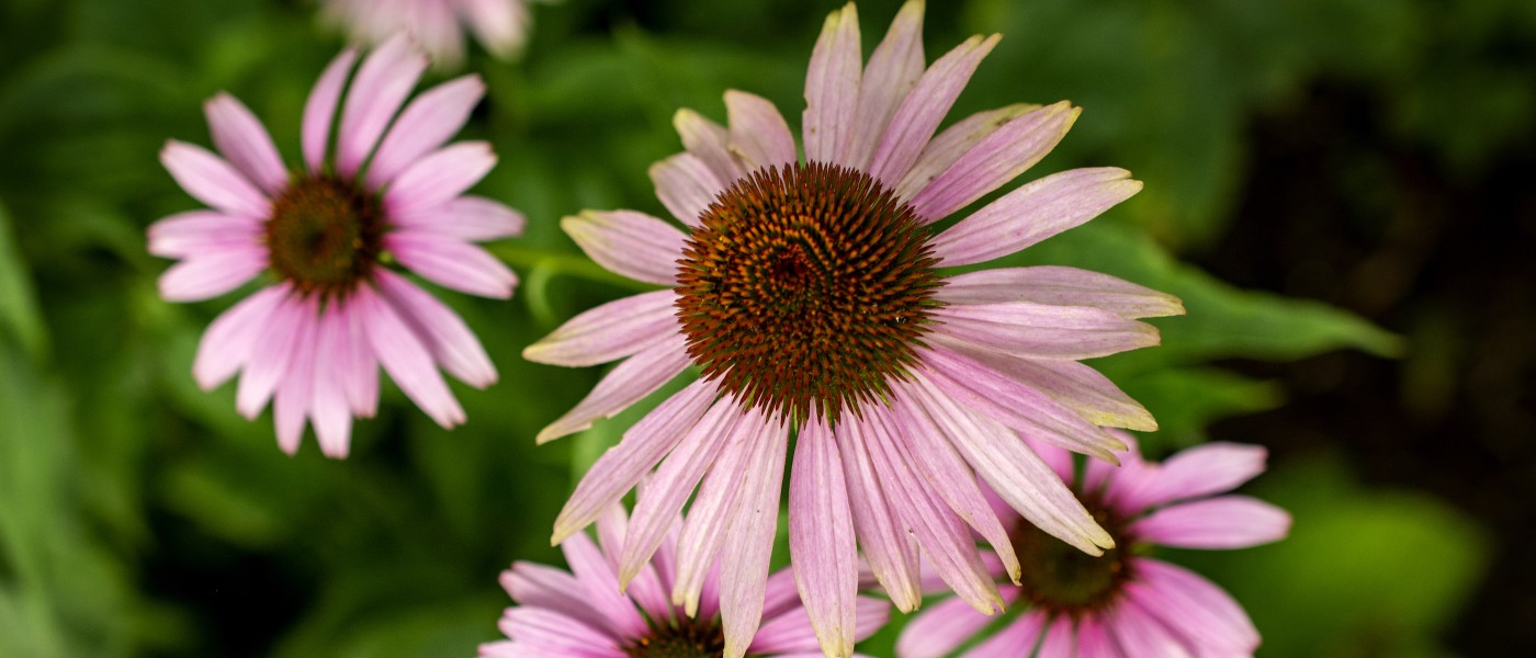
In 7b, we can grow asters (and fig trees—with some caveats), but plants like night-blooming jasmine (Cestrum nocturnum, Zones 9 to 11) may not survive outdoors in the winter.
To find your zone, type in your zip code on the map.
Who came up with this map?
The first Plant Hardiness Zone Map was produced nearly a century ago by Alfred Rehder, a taxonomist at Harvard’s Arnold Arboretum.
Rehder’s hand-drawn map divided the U.S. into eight temperature zones. His map was updated in subsequent years in other Arboretum publications. The USDA began producing its own maps in 1960, publishing revised versions in 1990, 2012, and 2023.

The PRISM Climate Group at the University of Oregon developed the 2012 and 2023 maps, in collaboration with the USDA’s Agricultural Research Service.
What does the Plant Hardiness Zone Map not tell me?
“This is a very specialized map,” says Daly. It’s all about extreme cold. In other words, “Can that perennial survive, on average, the coldest winter temperature you could expect to get?”
Extreme cold temperatures are a major regulator of plant survival; that’s why that metric is used here. But the map doesn’t look at extreme heat, or how well perennials might tolerate other extreme weather events, such as drought, heat waves, or flooding.
It also doesn’t speak to more site-specific conditions that might shape or limit your planting decisions, like soil type, sun exposure, and so forth. And hardiness zones are more relevant to perennial plants than annuals, which complete their life cycle within a single growing season.
So to summarize, the Plant Hardiness Zone Map is one important resource, but there are plenty of other factors to take into consideration when choosing plants that will thrive in your growing space.
What changed in this latest version?
In the new map, about half the U.S. moved up into a warmer half-zone, and the other half of the country stayed put. The most change occurred in the central part of the country, like the Central Plains and the Midwest, and the least amount of change occurred in the Southwest, says Daly.

The previous Plant Hardiness Zone Map analyzed temperatures from 1976 through 2005. The new 2023 map is based on data from 1991 through 2020.
“If you average the change between these two maps over the entire lower 48 states, you get about two and a half degrees Fahrenheit warming,” says Daly.
Is that because of climate change?
Yes, in part.
The USDA has cautioned against entirely attributing the new map’s zone shifts to climate change, noting that there are other major factors to consider.
The 2023 map is based on data from over 13,000 weather stations, for example, which is almost 70 percent more stations than were used for the 2012 map. The model used by Daly’s team, called PRISM, has also become more sophisticated in its ability to assess mountainous areas, which likely contributed to some shifts in the West, Southwest, and Alaska.
Daly also notes that the plant hardiness statistic is based on an extreme value—the coldest temperature of the year. This is a “highly volatile” number, and not necessarily the best one to use when modeling climate change.
That said, the shifts in the map are in line with what you’d expect to see in a climate that is heating up thanks to fossil fuel emissions that continue to rise.
“We know for a fact that average temperatures are rising due to climate change,” says Daly. “So over the longer term, this should cause plant hardiness zones to gradually move northward.”
I’m a gardener. What do these changes mean for me?
In short? “There’s really nowhere in the country where people should be significantly changing the way they garden” based on the new map, says Rounsaville.
Even if you did change zones, it doesn’t mean you need to replace existing plants.
“Because we're looking backward 30 years, we're telling you what’s already happened,” says Daly. The new map has, indeed, affirmed the experiences of many gardeners, who have been witnessing warmer winters and some shifts in which plants can thrive.
“I recently heard someone say, ‘The USDA Plant Hardiness Map gives us official permission to do what we thought we should be doing anyway,’” says Daly.
What’s changed in New York City?
New York City is still in Zone 7b. Zone 7b itself has crept out farther into Long Island, New Jersey, and Westchester County.
Though we stayed in the same zone, New York City did warm up by three degrees Fahrenheit. That sounds like a lot—and it is—but it doesn’t meaningfully shift the selection of perennial plants that can survive winters here, says Rounsaville.
“We know as gardeners that our cultural techniques can push a plant much more than three degrees Fahrenheit,” says Rounsaville. For example, planting near the radiant heat of driveways and sidewalks, or in an area protected from wind, can shift plant hardiness by one or two half-zones.
That doesn’t mean gardening in New York City—and life on Earth, in general—isn’t changing. We know that it is, in immensely challenging and inequitable ways. Climate change is already leading to longer growing seasons, changes in weed behavior, and an increase in drought and extreme rainfall events, as well as earlier bloom times, not to mention extreme heat and hazardous air quality.
To help track how climate change is affecting plants in the New York area, consider becoming an observer with the New York Phenology Project.
Are there any other caveats I should be aware of when reading this map?
A few, yes.
PRISM estimated the mean annual extreme temperature for each grid cell on the map, which are a half-mile on each side. That’s a pretty detailed picture, but “it’s a lot bigger than your garden,” says Daly. You might have microclimates in your growing space that are colder or warmer than suggested by your assigned zone.
Speaking of microclimates, it’s also worth noting that these zones apply to unprotected outdoor settings. Gardeners sometimes push the limits of their zone range by giving extra protection to certain outdoor plants (like mulch or cloches) or placing certain plants in protected areas or southern exposures.
The effects of water, too, can be profound, says Daly, because water absorbs a lot of heat. “But we don’t explicitly model water effects beyond the oceans and the Great Lakes,” he explained. Most of the weather stations whose data were used for this map are not located near lakes.
So, if you’re growing adjacent to a large body of water that is not an ocean or a Great Lake, your winter temperatures may be slightly warmer than indicated by your zone.
Finally, says Daly, “We can tell you pretty accurately what your zone is. But it doesn’t mean that every plant you get has the correct zone designation.”
Particularly for newly released cultivars, “rating plants could never really be a perfect science in the way that modeling weather data can be,” says Rounsaville. That said, for most species, “the plant breeding and nursery community has landed on an approximate band of hardiness.”
Now that I know which zone I’m in, how can I identify which perennial plants will thrive here?
One easy and wildlife-friendly approach is to choose native plants. Ecoregions can offer a more precise guide for native plant selection than the Plant Hardiness Zone Map (check out this ecoregional planting guide from the Pollinator Partnership, or this container growing guide from Homegrown National Park), but if a plant is indigenous to your area, it’s likely to be hardy to your zone.
For help selecting native and nonnative plants and perennial crops, many nurseries and seed companies have zone rating labels on websites and packaging. For more in-depth guidance, there are several reliable databases that allow you to search by species. The Horticulture department at BBG recommends the following:
- Missouri Botanical Garden, Plant Finder
- Royal Horticultural Society, Find a Plant
- American Conifer Society, Conifer Trees Database
- The National Gardening Association, Plants Database
- USDA Forest Service, i-Tree species
Local nursery catalogs and Cooperative Extensions can be helpful as well.
Thanks for reading along! For more information on the new Plant Hardiness Zone Map and what’s changed, check out the USDA’s map creation page.